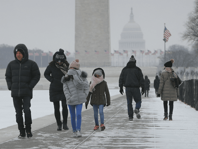
The first day of spring in the nation’s capital is less about cherry blossoms and more about what could be a major snow event that is heading up the East Coast of the United States.
“A long-duration storm arrives today with a messy wintry mix this morning before an afternoon lull,” the Washington Post reported on the Capital Weather Gang’s forecast. “Round two, mostly snow, begins in the predawn hours Wednesday and continues into the afternoon. Some accumulation is likely. The unseasonably cold weather persists through the weekend with yet another risk of wintry weather.”
“Winter Storm Toby will spread yet another swath of snow, not to mention wind and coastal flooding, into the East through Thursday, the fourth nor’easter in less than three weeks and potentially one of the heaviest snowstorms this late in the season along parts of the I-95 corridor,” the National Weather Service reported, and also included other areas, saying:
Winter storm warnings, where snowfall is expected to be heaviest, extend from eastern Massachusetts to the Smoky Mountains of Tennessee and North Carolina, including the cities of Boston, Providence, Hartford, virtually the entire New York City Tri-State area and Philadelphia.
Winter storm watches, meaning significant snow is possible, continue in the Washington D.C. and Baltimore metro areas as well as other parts of the Northeast.
Forecasters are predicting 6 to 12 inches of snow could fall in the Baltimore/ D.C. region and as much as a foot of snow could blanket New York City before the storm passes.
The Associated Press reported the weather is causing delays and cancellations at Reagan, Dulles, and Baltimore airports, as well as those in other cities impacted by the storm.
“Airports in the Washington region are being affected by the winter weather, and officials are asking travelers to check with their airlines about cancellations and delays,” AP reported.
Follow Penny Starr on Twitter

COMMENTS
Please let us know if you're having issues with commenting.