BOSTON, Feb. 15 (UPI) —
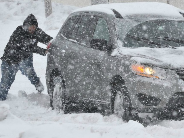
The mid-Atlantic region of the United States got new rain and snow Saturday from a storm system forecasters said could turn into a blizzard as it moved north.
The storm was predicted to gain strength over the Atlantic as it moved up the coast, bringing several inches of fresh snow to the Washington and New York areas, and possibly heavier accumulations from Cape Cod, Mass., to Maine and the Canadian Maritimes.
Saturday’s snowfalls will likely again affect highways in Pennsylvania, Accuweather said. Snow earlier in the week made a mess of the roads in the state, and treacherous driving is expected to be the rule Saturday from Philadelphia and Pittsburgh to New York.
Residents and emergency crews to the south should get a bit of a break this weekend from the winter weather that included a crippling ice storm in Georgia and the Carolinas.
The National Weather Service issued a wind advisory for the Atlanta area Saturday, but high temperatures in the 40s should help melt away ice on roads, trees and power lines. Georgia Electric told the Atlanta Journal-Constitution Friday nearly 130,000 customers statewide were still without electricity. Most of the outages were in the Augusta and Milledgeville areas.
The ferocity of the weather in the eastern United States this winter is blamed on a stubborn “long-wave” pattern to the jet stream, which continues to steer precipitation to the north of drought-bound California, sending it into frigid northern Canada befire it dives south into the Midwest and Southeastern United States.
The phenomenon has created a long, wet winter for Great Britain and almost balmy conditions at the Winter Olympics in Russia.
Researchers told CNN a unique feature of this winter’s jet stream profile is that the air stream is moving more slowly than usual, resulting in storms hanging around longer in a particular area, which translates to heavier accumulations of snow and rain.

COMMENTS
Please let us know if you're having issues with commenting.