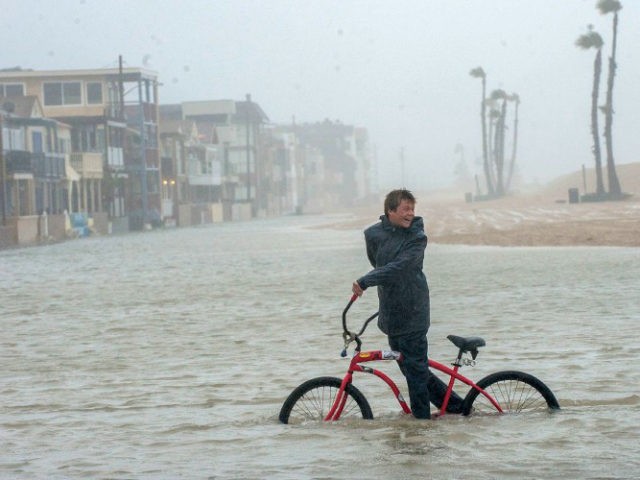
The “flash drought” in the upper plains states, and rising temperatures in the Equatorial Pacific, are warnings that another El Niño is forming that could slam the West Coast this winter with heavy rainfall, widespread flooding and infrastructure failure risks.
Farmers in Montana, North Dakota, and South Dakota are already facing over $1 billion in crop losses, as a short-term spike in surface temperature and rapidly decreasing soil moisture is causing what meteorologists refer to as a “flash drought.”
Rainfall across the affected region has been less than half the norm since the beginning of the April growing season. At the epicenter of the drought in Montana’s Missouri River basin, rainfall is running at a historic low of less than a quarter of the norm.
Commodity grain prices shot up this summer, led by wheat, which spiked 32 percent from June price of $440 a metric ton to a high of $580 in mid-July. The agricultural price indexes have fallen back in the last three weeks, but prices could skyrocket again if fingers of extreme heat and low humidity stretch south into Nebraska, Kansas, Iowa and Missouri.
The Left is has been quick to blame this summer’s farmer misfortune on global warming. According to the Daily Kos, the increase in “droughts like these are closely linked to climate change.” DK’s supposed experts claim that “global warming is reducing key proteins and key minerals like iron and zinc from cereal crops sparking fears that vulnerable populations will face stunted growth and early death.”
But the real culprit appears to be the 50-55 percent probability of the onset of an El Niño, according to the National Weather Service Climate Prediction Center. Normally, two out of every seven years an El Niño forms off the western coast of South America. The ocean currents and winds reverse, causing water temperatures to warm and displacing the nutrient-rich cold water that normally wells up from deep in the ocean. As a result, the warm water evaporates and heavy moisture-bearing storms slingshot up from the Equator to dump massive amounts of rain and snow on the West Coast.
But there could be a back-to-back set of El Niños as water temperature along the Pacific Equator is already warm enough to signal a coming El Niño. The Weather Service is only predicting a 50-55 percent probability, because air temperatures are not sufficiently warm enough to proclaim a full-blown El Niño, as of the last monthly readings on July 13.
Breitbart News warned in March, as California’s Central Valley and the Sierras were experiencing what would turn out to be the second heaviest rain and snowfall fall since scientific records were first produced in 1921, that there was risk of an El Niño next winter.
The volume of California’s snowpack runoff has been so huge that 19 of California’s 43 reservoirs are still above 90 percent full this late in the summer. The end of the 5-year drought, which caused extraordinary low reservoir water levels at the beginning of torrential rains, meant several dams might have catastrophically failed.
The U.S. Geological Survey’s ‘Surface Water’ reports that 2017 precipitation was so heavy that a majority of California creeks, streams and rivers are still running at or above average for last 4 months, as the Department of Water Resources tries to dump water before the 2018 rainy season begins in October.
With just seven weeks before the rainy season begins, risks are high that all of California’s aging dams, canals and aqueducts may struggle through another big rain year.

COMMENTS
Please let us know if you're having issues with commenting.